Interactive Map
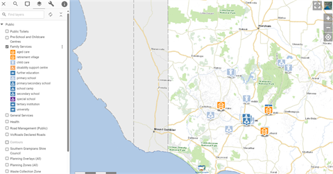
Council's interactive map (using the Pozi platform) is helpful for residents, visitors to find and access services and for businesses researching our Shire.
By simply clicking a layer, you can find anything from public toilets to health services. You can also view planning overlays and waste collection zones.
Pozi also displays a wide range of geographical boundaries and highlights unique land capabilities for ie farming.